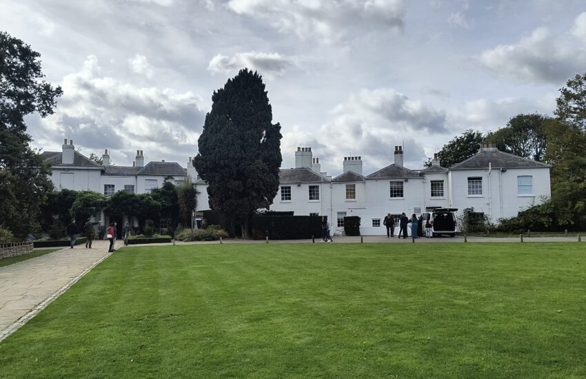
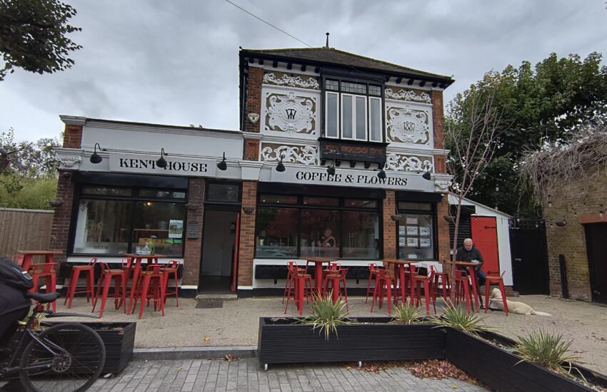
Route: Sydenham – Ladywell – Welling – Lesnes Abbey – Thamesmead – Greenwich – Ladywell – Sydenham
Distance: 30.91 miles

Bikes & Hikes
Route: Sydenham – Ladywell – Welling – Lesnes Abbey – Thamesmead – Greenwich – Ladywell – Sydenham
Distance: 30.91 miles

Route: Canada Water – Tower Bridge – Guys – Blue – Canada Water
Distance: 7.10 miles

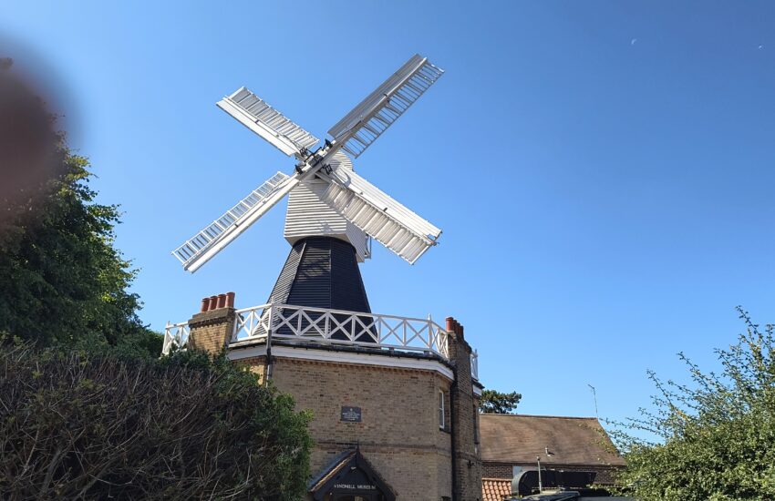
Route: Sydenham – Dulwich Park – Bockwell Park – Clapham Common – Wandsworth Common – Brixton Windmill – Sydenham
Distance: 17.09 miles
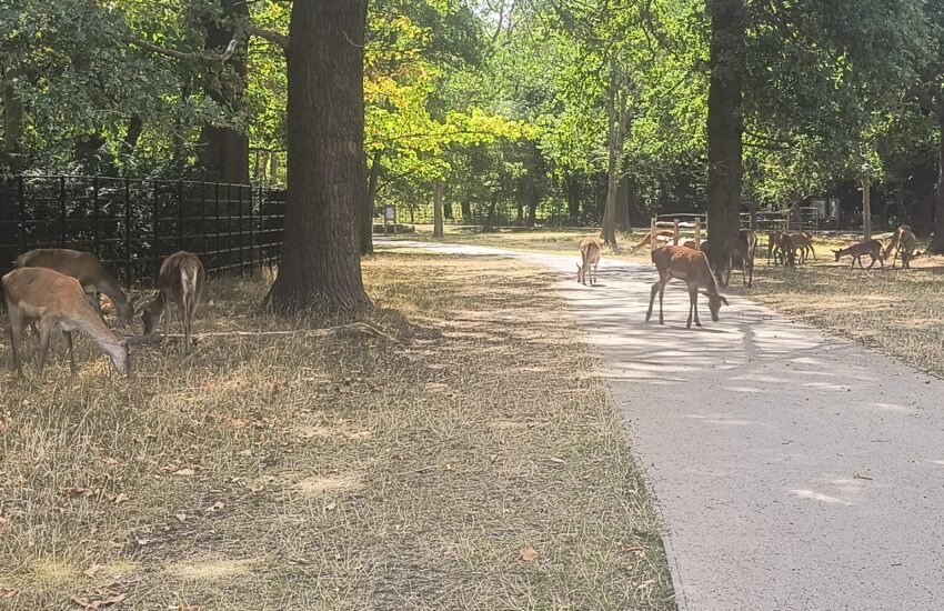
Route: Croydon – Wandle Trail – Richmond Park – Thames Path – Victoria
Distance: 28.66 miles
Route: Sydenham – Croydon – Crystal Palace Park – Sydenham – Croydon – Sydenham
Distance: approx 25 miles

Route: London Bridge – Embankment North -Hyde Park – Portobello Road – Hyde Park – Embankment South – London Bridge
Distance: 15.50 miles
Route: Canada Water – Race Start – Thames Paths – Race End – Richmond Station
Distance: 27.20 miles
Route: West Croydon – Wandle Way – Morden – Kingston – Bushey Park – Walton – Kingston
Distance: 30.58 miles
Route: Sydenham – Croydon – Wandle Way – Wimbledon – Battersea – West Croydon Station
Distance: 33.45 miles
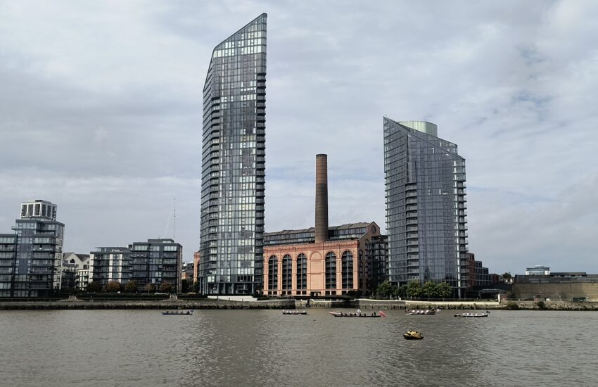
Route: Croydon – Waterlink Way – Greenwich Foot Tunnel – Mile End Park
Distance: 15.05 miles